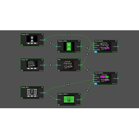
Daiphys Analysis Notes on Geospatial Opendata
DANGO (Daiphys Analysis Notes on Geospatial Opendata) is an integrated analytics platform for publicly available Earth observation satellite data. By specifying a location and time range, DANGO automatically retrieves relevant satellite imagery and geospatial datasets, performs preprocessing and rule-based analysis -- including baseline indicator analysis, feature extraction, time-series analysis, and anomaly detection -- and generates structured reports enhanced with LLM-based summaries.

Inquire About This Product
Company information

Daiphys is a professional services company in research and development of leading-edge technologies in science and engineering. Get started accelerating your business through our deep expertise in R&D with AI, quantum computing, and space development; please get in touch with Daiphys today!