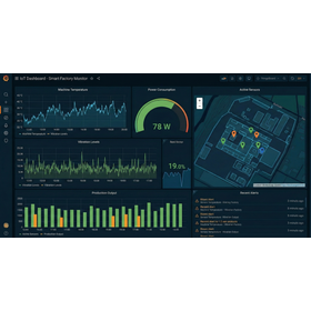
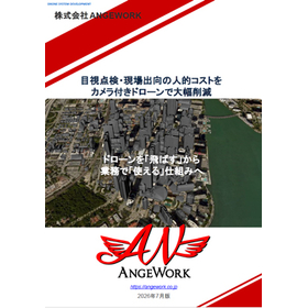
Development of a business system that provides comprehensive support for drone measurement, LiDAR, and point cloud analysis.
This is a system development service for measurement, inspection, and surveying operations utilizing drones. We provide a comprehensive system that covers everything from flight path design, shooting simulation, LiDAR and point cloud analysis, photogrammetry, 3D visualization, GIS integration, to report output. In addition to drone flights, we also support web systems, mobile apps, cloud integration, and integration with existing systems to utilize the acquired data in operations. We offer customized development tailored to the challenges on-site, from research and development and proof of concept (PoC) to actual operation. This service can be utilized in a wide range of fields, including infrastructure inspection, equipment management, construction and civil engineering, agriculture, and research and development.
Inquire About This Product
basic information
- Services provided: Development of drone business systems, route design, shooting simulation, LiDAR and point cloud analysis, photogrammetry, 3DGS, WebGL and 3D visualization, GIS integration, cloud integration, report output, integration with existing systems - Supported platforms: Windows, web browsers, smartphones and tablets - Supported technologies: LiDAR, point cloud processing, 3D analysis, WebGL, Unity, AI image analysis, GIS, IoT - Main applications: Equipment inspection, surveying, infrastructure management, agriculture, research and development, PoC, digital twin construction * We can accommodate additional features and custom development based on your requests.
Price information
We support everything from proof of concept and research and development to operational systems. The reference price is approximately 500,000 to 3,000,000 yen. We will provide individual estimates based on the target business, development scale, compatible devices, and implemented features. We also accept custom development for integration with existing systems, point cloud analysis, AI image analysis, GIS integration, and more. Initial consultations and technical consultations are free of charge.
Delivery Time
※The delivery time varies depending on the target business, development scale, and desired features. We can accommodate everything from PoC to full development, so please feel free to consult with us first.
Applications/Examples of results
We have a track record of developing systems for equipment inspection, surveying, infrastructure management, construction and civil engineering, agriculture, and research and development using drones. We can consistently handle everything from route design, shooting simulations, LiDAR and point cloud analysis, photogrammetry, 3DGS, 3D visualization using WebGL, GIS integration, report generation, to data integration with existing systems. We specialize in developing systems that utilize data obtained from drones for business purposes, providing extensive support from proof of concept (PoC) and demonstration experiments to actual operations. We also accommodate customized development tailored to our clients' business activities and operational environments.
Detailed information
-
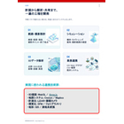
Drone operations do not end with just flying. At ANGEWORK, we are developing a system that supports a series of workflows from route design and shooting simulation to LiDAR and point cloud analysis, photogrammetry, 3DGS generation, GIS integration, embedding into web systems, and report creation. We focus on analysis, visualization, and data integration to utilize the acquired data in business operations, and we also accommodate customized development tailored to our customers' operations. Our solutions can be applied across a wide range of fields, including infrastructure inspection, construction and civil engineering, facility management, agriculture, and research and development. From PoC and demonstration experiments to full-scale implementation, we provide solutions that transform drone data into valuable business information. The materials illustrate the entire workflow from drone operation to point cloud analysis and business system integration.
catalog(1)
Download All Catalogs
Company information

Our company has received numerous contract development projects from major corporations in the fields of software development and research utilizing advanced technologies. We have experience with WebGL, Unity, LiDAR, medical smart glasses/watches, and drones. Recently, there has been an increase in projects related to machine learning (AI) and ChatGPT (API integration, prompts). We also have multiple achievements in R&D for high-difficulty projects and special cases. Starting in fiscal year 2024, we have incorporated AI support into our development environment, successfully achieving efficiency and cost reduction.