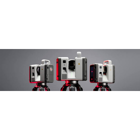
Latest model announced in June 2026" - A ground-based laser scanner that enables "real-time data sharing during scanning.
The latest ground-based 3D laser scanner "Leica RTC500/700 Series" was announced by Leica Geosystems in June 2026. It overturns the conventional wisdom of "scanning on-site and checking data after returning to the office" in the fields of surveying, construction, and ICT civil engineering. With the industry's first new feature "Livelink," it seamlessly connects the field and the office, achieving overwhelming efficiency in surveying operations and reducing rework.
Inquire About This Product
basic information
For the first time in the industry, real-time streaming of point cloud data during scanning using "Livelink" will be delivered to Hexagon GeoCloud. Additionally, it combines the robustness of the P series, allowing for the rapid acquisition of high-density point cloud data even in harsh environments. Office design and construction managers can instantly check site conditions with tools like "Cyclone REGISTER 360," enabling the prevention of scan omissions and ultra-fast data merging. The upgrade design reduces equipment investment risks; even if measurement requirements become more advanced in the future, hardware replacement is unnecessary. It features scalability that allows for immediate upgrades from RTC500 to higher performance tiers with just a software license release.
Price range
Delivery Time
Applications/Examples of results
Main Uses and Target Industries - Current condition surveying and ICT construction initiation at civil engineering and construction sites - As-built surveying for the maintenance and management of large-scale infrastructure (such as bridges and tunnels) - High-precision 3D spatial data acquisition for reverse engineering and building BIM/CIM models of complex plant facilities
Detailed information
-
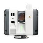
Product appearance
catalog(4)
Download All Catalogs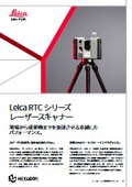
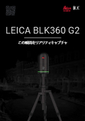
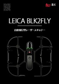
![[Subsidy-eligible product] Laser scanner 'Leica ScanStation P50'](https://image.mono.ipros.com/public/catalog/image/01/cae/426979/IPROS27342789044026833293.jpeg?w=120&h=170)
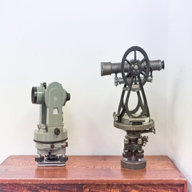
Company information
Yokohama Measuring Instruments Co., Ltd. is engaged in the sale, repair, maintenance, and rental of surveying instruments (general surveying instruments, GNSS, laser scanners, etc.), surveying CAD software, multifunction office equipment, and other related products. We offer a lineup of products from various manufacturers, including Leica, Topcon Sokkia, and Pentax. Please feel free to contact us if you have any requests. We have established a new consulting division to support subsidy applications. We provide support for two types of subsidy applications: "Monozukuri Subsidy" and "Business Restructuring Subsidy." Our company will comprehensively support the necessary business plans and application procedures required for the application process. If you have any other questions, please do not hesitate to let us know.