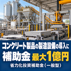
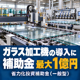
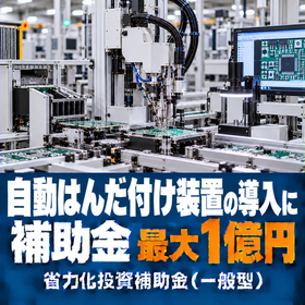
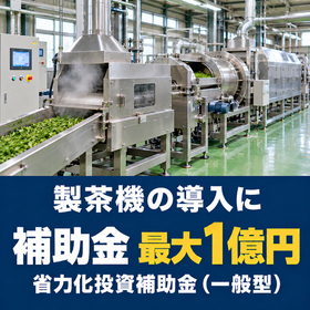
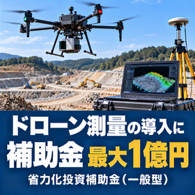
For the introduction of drone surveying, subsidies are available with a maximum limit of 100 million yen and a subsidy rate of 1/2 to 2/3.
The introduction of drone surveying can utilize the Small and Medium Enterprise Labor-Saving Investment Subsidy (General Type). Equipment that combines peripheral devices and automation tailored to the site is eligible. 【Examples of configurations targeting drone surveying】 ■ Entrust surveying of large sites to drones Reduce the time spent walking to measure and the number of people involved in surveying ■ Generate drawings and calculate earth volume from point clouds using software Reduce the effort of creating drawings and calculating earth volume ■ Check the progress of construction from the air Reduce the time spent inspecting the site and organizing photos 【Support from Taigen】 Over 158 applications accepted; total amount of subsidies supported exceeds 2.8 billion yen. Consultations are free. We will assist you from creating a business plan to application, and through to grant application and performance reporting after acceptance. *You can easily reserve a 60-minute free consultation by selecting a date from the QR code in the catalog.
Inquire About This Product
basic information
【Maximum Subsidy Amount (by Number of Employees)】 - 5 or fewer: 7,500,000 yen (10,000,000 yen for significant wage increases) - 6 to 20: 15,000,000 yen (20,000,000 yen for significant wage increases) - 21 to 50: 30,000,000 yen (40,000,000 yen for significant wage increases) - 51 to 100: 50,000,000 yen (65,000,000 yen for significant wage increases) - Over 101: 80,000,000 yen (100,000,000 yen for significant wage increases) 【Subsidy Rate】 Small and medium-sized enterprises: 1/2 (2/3 if working to raise the minimum wage), small businesses: 2/3 【Eligible Expenses for Subsidy】 Costs for machinery and equipment, system construction (mandatory), transportation costs, technology introduction costs, expenses related to intellectual property rights, outsourcing costs, expert fees, cloud service usage fees It is a requirement to include at least one piece of machinery or equipment with a unit price of 500,000 yen (excluding tax) or more.
Price information
The upfront fee is 100,000 yen, and the success fee is only received when accepted. Consultations are free.
Delivery Time
※Available nationwide online. You can proceed to application in as little as 2 weeks.
Applications/Examples of results
【Example of Calculation】 In the case of a surveying and civil engineering company (20 employees) introducing a surveying drone (equipped with a laser) + point cloud processing software and GNSS reference station: - Equipment cost (excluding tax): 12,000,000 yen - Subsidy (subsidy rate 1/2): 6,000,000 yen - Actual burden: 6,000,000 yen * The subsidy limit for a company with 20 employees is 15,000,000 yen. The actual subsidy amount will be determined based on the content of the plan and the review. 【Frequently Asked Questions】 Q. Can this be used in the construction and surveying industries? A. Yes, it can. It is applicable to companies involved in surveying and site management, not limited to the manufacturing industry. Q. Can a combination of drones and software be used? A. Combinations tailored to the site are eligible. It must include at least one piece of machinery or equipment with a unit price of 500,000 yen (excluding tax) or more, and be structured to reduce manual labor.
catalog(1)
Download All Catalogs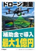
Company information

Taigen Co., Ltd. is a management consulting company established in 2021. Based on the "tips" and "solutions" gained from practice, we provide support for building strong organizations, financial assistance, and new business development. Additionally, we offer a wide range of services, including the formulation of organizational visions, the establishment of evaluation systems, financial training, support for subsidy applications, as well as the planning of business strategies and support for new businesses. We provide one-stop support from building a robust organization and business strategy to fundraising. Please feel free to contact us when needed.